
The southern Gulf of Mexico may serve as the breeding ground for another tropical storm to form near June 1, the official start of the Atlantic hurricane season.
On the heels of short-lived Subtropical Storm Andrea, there are indications that another storm may take shape at the end of May or start of June. Instead of near Bermuda, as was the case with Andrea, First Alert Hurricane are keeping a close eye on the southern Gulf of Mexico for potential development.
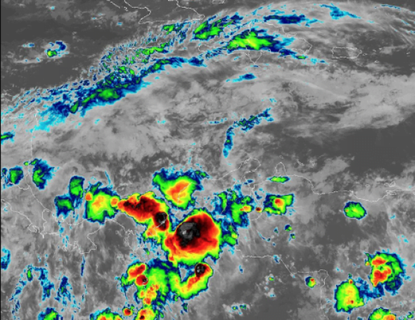
A large counterclockwise wind pattern, called a gyre, has set up over Central America. There is a very small chance for some tropical development due to this gyre in the southern or southwestern Gulf of Mexico toward the end of next week into early June. The water in the southwestern Gulf of Mexico is warmer than normal, which could cause any system that forms to then strengthen into a tropical storm. The next named storm in the Atlantic Basin will be called Barry.
If there are any impacts on the Gulf Coast of the United States, it would not be until next weekend (June 1-2).
