
 ACCURATE FIRST WEATHER — TROPICAL UPDATE
With Meteorologist Louis Smith
Thursday, May 14, 2026
As we move closer to the start of the 2026 Atlantic Hurricane Season, one of the biggest questions remains:
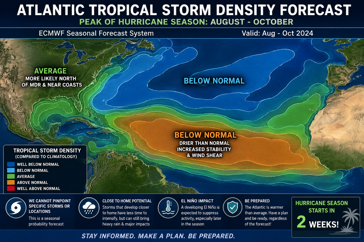
What happens if El Niño suppresses the Main Development Region (MDR)… but the Gulf and western Atlantic stay unusually warm?
Right now, seasonal guidance continues hinting at fewer classic long-track Cape Verde hurricanes and a greater potential for “homegrown” tropical development closer to the Gulf Coast and Southeast U.S.
 THE BIGGEST CHALLENGE: LEAD TIME
These Gulf or western Atlantic systems can rapidly evolve from a disorganized “moisture blob” into a named storm with impacts in as little as 24–72 hours.
That is especially concerning during:
• June
• July
• Early August
when Gulf waters are already running extremely warm.
 WHAT I’M WATCHING MOST CLOSELY
Instead of focusing primarily on tropical waves coming off Africa 7–10 days out, my attention this season may shift much closer to home.
 Key features to monitor:
• Gulf upper-level patterns
• Stalled frontal boundaries
• Decaying thunderstorm complexes (MCS activity)
• Weak surface troughs
• Western Caribbean gyres
• Coastal low pressure development
These setups are often the seeds for the surprise tropical systems that catch communities off guard.
 FLOODING MAY BECOME THE BIGGEST THREAT
One important reminder:
Not every impactful storm becomes a major hurricane.
A slow-moving 50–60 mph tropical storm can sometimes create worse impacts than a fast-moving Category 2 hurricane — especially when it comes to flooding rainfall.
This season I’ll likely place stronger emphasis on:
• Flood risk
• Rainfall totals
• Flash flooding potential
• Tornado threats within rain bands
rather than focusing only on wind categories.
 REAL-TIME NOWCASTING WILL BE CRITICAL
These “homegrown” systems often organize quickly overnight, meaning tropical forecasting becomes much more radar and satellite driven.
Key tools include:
• Visible satellite trends
• Nighttime infrared imagery
• Coastal radar velocity signatures
• Low-level circulation development
• Hurricane Hunter recon data
This becomes more of a real-time forecasting environment rather than a long-range tracking setup.
 EARLIER HEADS-UP MESSAGING
One thing I’ve learned covering the Gulf Coast:
People prepare better when they hear about a setup BEFORE it becomes official.
That means discussing:
• Tropical moisture consolidation
• Persistent convection
• Falling pressures
• Improving upper-level conditions
even before the National Hurricane Center formally tags an area for development.
The goal is preparedness — not hype.
 LOCAL IMPACTS MATTER MOST
With Gulf systems, impacts can vary dramatically from county to county depending on storm motion and rain band placement.
Coverage this season will likely focus heavily on:
• Localized rainfall swaths
• Surge vulnerability zones
• Tornado threat corridors
• Feeder band timing graphics
• County-by-county impact projections
rather than broad basin-wide hurricane tracks alone.
 THE EL NIÑO “LAG EFFECT”
Another major factor that may be underappreciated right now:
Even if El Niño becomes dominant by peak hurricane season, June and July may still feature temporary windows of lower wind shear near the Gulf or Southeast coast.
The atmosphere does not flip a switch overnight.
That transitional period could still allow quick tropical development close to land.
ONE FINAL CONCERN
If we end up with weak steering currents and a broad subtropical ridge, even weaker tropical systems could become dangerous slow-moving rain producers along the Gulf Coast.
And historically…
That is where the real trouble often begins.
Stay with Accurate First Weather and Meteorologist Louis Smith throughout hurricane season for trusted Gulf Coast tropical coverage and real-time updates.