

Isolated/scattered convection is ongoing along a boundary extending from Wilkinson Co., MS to upper Plaquemines Parish, LA. WPC has outlined this area as a surface trough, and although there is not much of a wind shift along this feature, there is a clear moisture/Theta-E boundary over this region. Some updrafts have managed to climb allowing for the potential for hail and some strong wind gusts. SPC has again issued a short-fused marginal risk for portions of the region.
In terms of the mesoscale, the best wind potential looks to reside along the MS River closer to this boundary. This is also where the best DCAPE or Theta-E diffs reside/juxtaposed. Coverage today has been somewhat limited and as it stands right now a bit more suppressive upper levels look to end things a bit earlier than last night (hopefully). Otherwise, expect the short term to remain similar to what we tend to expect during the warm season with nocturnal Thundershowers offshore tonight.
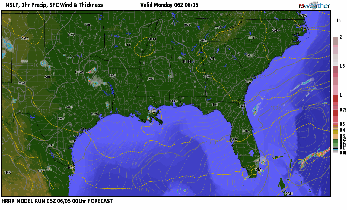
Monday looks a bit more active in terms of coverage. Continued dry northwesterly flow will be enough to keep mentioning strong wind potential in the tallest or strongest updrafts. Mid-levels also remain rather cool for this time of year too so a small hailstone or two cannot be ruled out. Temperatures on Monday look to be a degree or two cooler with the increase in coverage and active sea/lake breeze and outward convective outflow propagation.