• Sat. Jul 27th, 2024

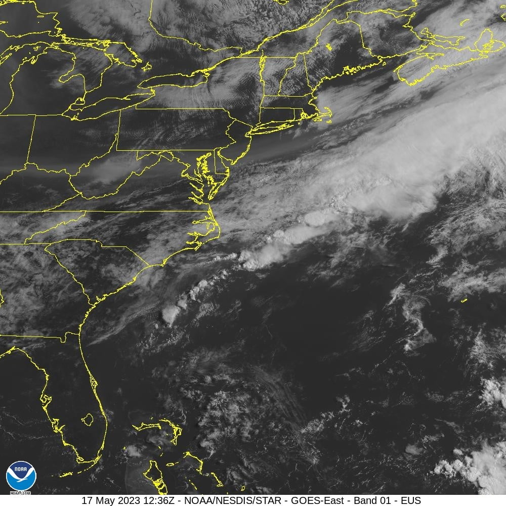
    A stationary boundary has dissipated this morning and high pressure is building across the western subtropical Atlantic. A few isolated showers are observed from 20N to 27N between 60W and 66W. Winds are gentle to moderate from the S-SE with 4-6 ft seas. In the eastern subtropical Atlantic, the gradient between high pressure near the Azores and lower pressure over NW Africa is supporting moderate to fresh NE winds and 6-8 ft seas.

    Geostationary Lightning Mapper - Lightning flash extent density over GeoColor - 17 May 2023 - 1306 UTC

    In the tropical latitudes south of 20N, trade winds are generally moderate with 6-9 ft seas. For the forecast west of 55W, as high pressure builds across the area, gentle to moderate southerly winds will dominate the majority of the area through Sat. A moderately strong low-pressure system is forecast to develop along a frontal boundary just off the SE US by tonight. This system is forecast to move toward Cape Hatteras by Fri, with strong winds and rough seas expected to remain north of 31N, in the Ocean Prediction Center’s area of responsibility.

    Leave a Reply

    Your email address will not be published. Required fields are marked *

    Verified by MonsterInsights