Western Gulf Coast Radar Loop Central Gulf Coast Radar Loop
 Eastern Gulf Coast Radar Loop
 East Coast Radar Loop
 Northeast Coast Radar Loop
Central Gulf Coast Radar LoopEastern Gulf Coast Radar LoopEast Coast Radar LoopNortheast Coast Radar Loop


12 Hour Forecast  24 Hour Forecast
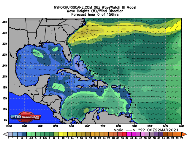
 24 Hour Forecast
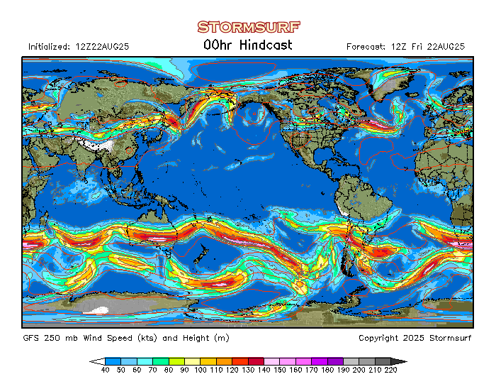
48 Hour Forecast 
72 Hour Forecast 


24 hour  48 hour
 48 hour
72 hour