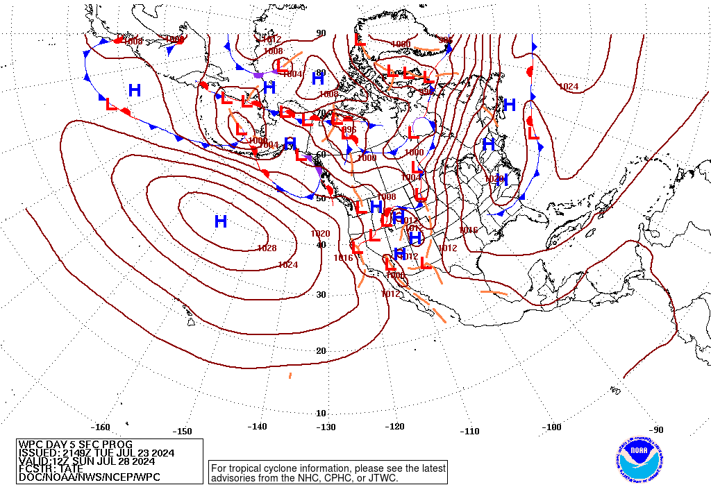
While tropical storm formation has been scarce so far this tropical season, the area near Central America may become a breeding ground for tropical activity in the coming week.
Over Central America, patches of heavy rain and thunderstorms will continue to gather as a large slowly-spinning, non-tropical storm, called a gyre.
The large gyre over Central America will continue to bring an active pattern to northern Central America and southern Mexico the next few days.
Periods of heavy rain will continue to affect these areas over the next several days, leading to flooding and potentially higher-terrain mudslides from Columbia to southeastern Mexico.

As a bit of energy from a tropical wave reaches this gyre, it may give birth to a tropical depression over the southwestern Gulf of Mexico later this week, unless a depression forms on the Pacific side of Central America instead.

With the setup, there may not be enough atmospheric support for two systems: one in the Gulf and one in the nearby Pacific at the same time.
Should a tropical depression develop in the southwestern Gulf of Mexico later this week, steering breezes may direct the feature northward toward the Texas coast with perhaps additional strengthening.
Should a tropical depression develop over the eastern Pacific, steering breezes would likely take the feature westward and progressively farther away from land with considerable strengthening possible.
Cruise, shipping, coastal and petroleum interests in the region should monitor the situation.
Even if no definable tropical feature evolves in the western Gulf, a surge of drenching showers and thunderstorms may push into parts of northeastern Mexico, coastal and central Texas and Louisiana late this week or this weekend.

Elsewhere across the Atlantic and the Eastern Pacific basins, things have been quiet so far.
Wind shear has been quite extensive across the Atlantic basin the past few weeks and is, in part, one of the reasons why we have not seen any tropical storm development across the Atlantic Basin since mid-July with Barry. Long-range forecasts show less extensive shear but still enough to cause problems with westward-moving tropical waves, or disturbances, during the next week or so.
Extensive areas of dry air and dust have been inhibiting factors as well. While moisture can gather quickly regardless of current conditions, the amount of dust which tends to keep a lid on the shower and thunderstorm formation may begin to diminish next week. This could lead to an uptick in tropical activity across the remainder of the Atlantic Basin before the end of the month.
Over the years, the period from Aug. 20 through Sept. 11 marks the sharpest increase in named tropical systems in the Atlantic Basin. I’m forecasting a total of 12-14 named storms with five to seven hurricanes and two to four major hurricanes (Category 3 or higher) for the entire 2019 year. I estimate that two to four United States landfalls of named systems are likely. Thus far, there have been two named storms, including one hurricane. Barry was the only system to make landfall in the United States so far and did so as a Category 1 hurricane.
With the weakening of El Niño, conditions are expected to become not only much more conducive for tropical storm formation but may also lead to multiple occasions with more than one named system spinning in the Atlantic Basin at the same time as well as a late and strong finish to the season. It’s a must for the Gulf States to keep up with the latest on the Tropics the next two months and you can do just that to going to http://Firstalerthurricane.com .
Jason Scott

