Latest Tropical Weather Outlook:
Latest Tropical Weather Discussion:

hattiesburg bobby l chain municipal airport weather forecast
 Live satellite from F5Weather
 Live satellite from F5Weather
 Live radar from F5Weather
 Live radar from F5Weather
 Live radar from F5Weather
Categorical Outlook Mississippi Day 1:

Categorical Outlook Mississippi Day 2:

Categorical Outlook Mississippi Day 3:


Western Atlantic Infrared Satellite Image:

Tropical Atlantic Wide Infrared Satellite Image:

Gulf Of Mexico Infrared Satellite Image:

US East Coast Infrared Satellite Image:

Tropical Atlantic Wide Visible Satellite Image:

Gulf Of Mexico Visible Satellite Image:

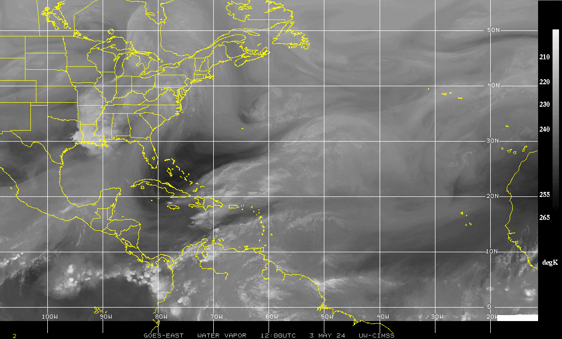
Western Atlantic Water Vapor Satellite Image:
Tropical Atlantic Wide Water Vapor Satellite Image:

Gulf Of Mexico Water Vapor Satellite Image:

Caribbean Water Vapor Satellite Image:

Eastern Atlantic Infrared Satellite Image:

Eastern Atlantic Infrared Satellite Image:

Eastern Atlantic Visible Satellite Image:

Eastern Atlantic Water Vapor Satellite Image:

Saharan Air Layer (SAL) Analysis:

Current Southwest North Atlantic Surface Analysis:

Current Caribbean Surface Analysis:

Current Gulf of Mexico Surface Analysis:

Current Southeast US Surface Map:

Current Northern/Western Gulf Coast Surface Map:

Current Atlantic Sea State Analysis:

24-Hour NHC Surface Forecast:

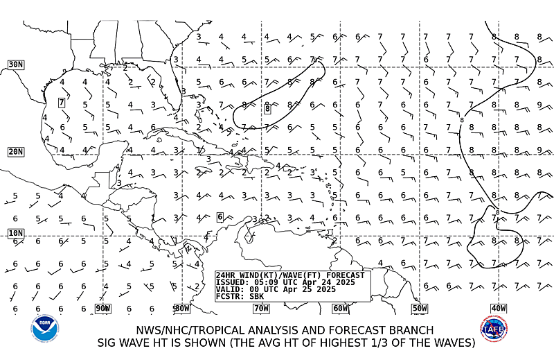
24-Hour NHC Wind & Wave Forecast:
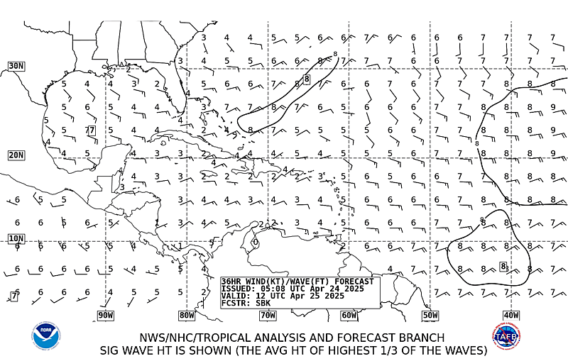
36-Hour NHC Wind & Wave Forecast:
48-Hour NHC Surface Forecast:

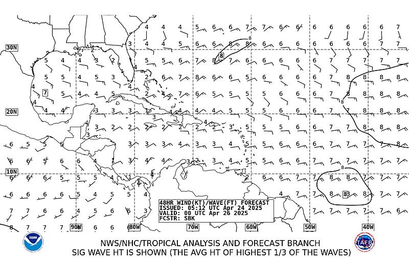
48-Hour NHC Wind & Wave Forecast:
72-Hour NHC Surface Forecast:

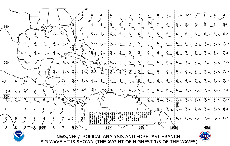
72-Hour NHC Wind & Wave Forecast: