Special Tropical Weather Outlook NWS National Hurricane Center Miami FL 830 AM EDT Mon May 21, 2018, For the North Atlantic…The Caribbean Sea and the Gulf of Mexico:
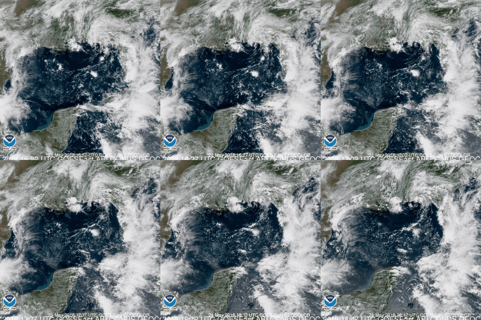
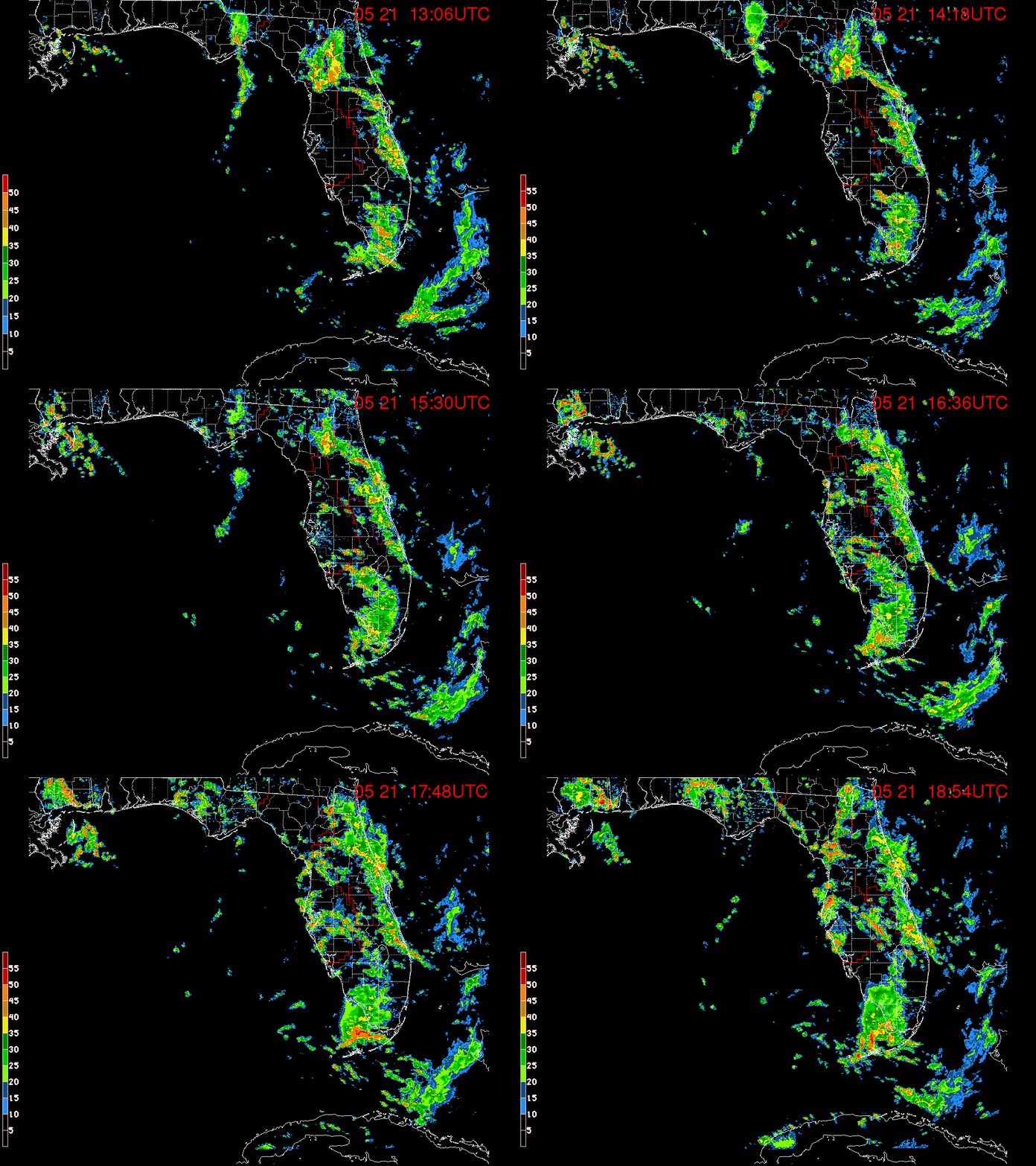
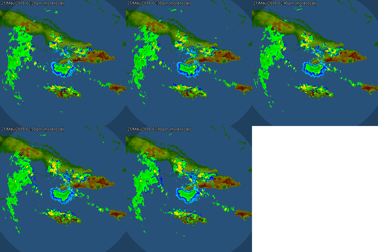
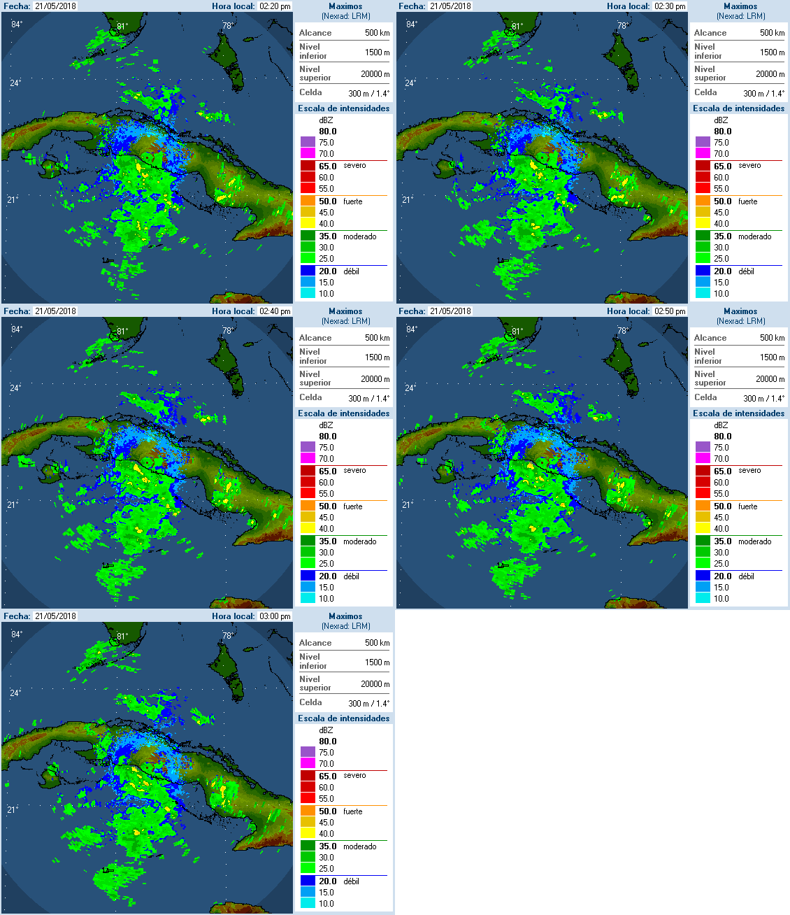
Widespread cloudiness and showers extending from the northwestern Caribbean Sea across Cuba and the Florida peninsula are associated with the interaction of a large upper-level low with a weak surface trough. While environmental conditions are expected to be unfavorable for development during the next couple of days, some gradual development is possible later this week while the system moves into the central or eastern Gulf of Mexico. Regardless of development, locally heavy rainfall is possible across western Cuba and Florida over the next several days. A surface ridge will remain in the northern Gulf Coast through Thursday night. The current eastern Gulf of Mexico surface trough will drift westward, into the central Gulf of Mexico, by Wednesday. It is possible that a low-pressure center may develop in the NW Caribbean Sea on Thursday, and move northward along the trough into the south-central Gulf of Mexico on Friday.
For more information on the heavy rain threat, please see products issued by your local weather office.
The next Special Tropical Weather Outlook on this system will be issued by 800 PM EDT tonight.
* Formation chance through 48 hours…low…near 0 percent.
* Formation chance through 5 days…low…20 percent.


