


3 Day Loop  Current Day 1 (Today)
  Current Day 2 (Tomorrow)
  Current Day 3
  Days 3 thru 7
Current Day 1 (Today) Current Day 2 (Tomorrow)  Current Day 3 Days 3 thru 7
24 Hour NHC Forecast 

48 Hour NHC Forecast 
72 Hour NHC Forecast 


GEOColor IR


Water Vapor

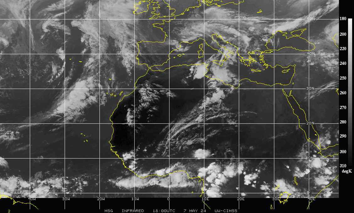
Infrared

Total Precipitable Water

GEOColor IR

IR


IR


Visible


Water Vapor

GEOColor IR

Shortwave IR


Visible


Water Vapor

GEOColor IR

Infrared


Visible


Water Vapor